
Exploring the Vital San Francisco Watershed: An In-Depth Look
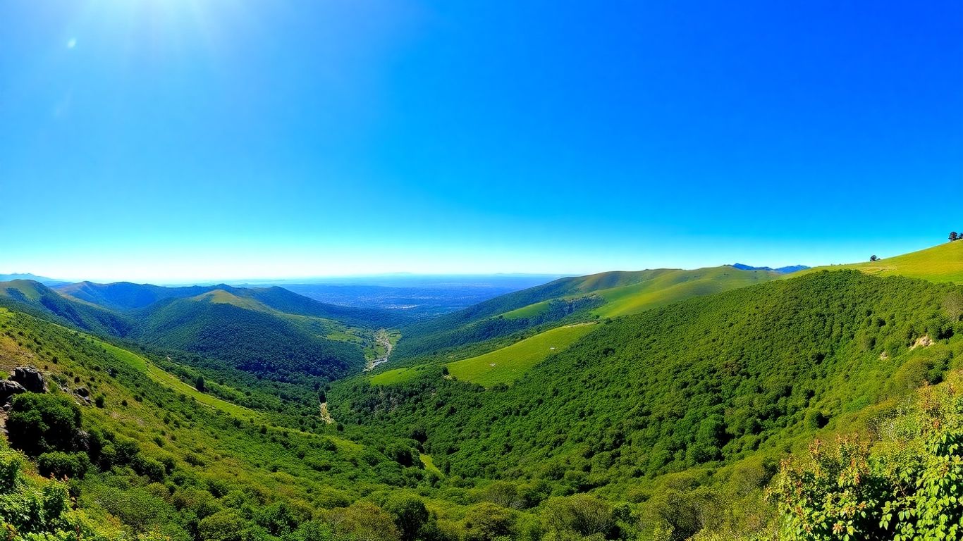
The San Francisco watershed is a really complex system, and understanding how it all works, especially when it comes to sediment, is pretty important. Think about it – all the rivers and streams eventually lead to the bay, and what happens upstream can have a big effect downstream. This article is going to take a closer look at the San Francisco watershed, digging into how sediment moves, what's changing it, and why it all matters. We'll explore the science behind it, from historical mining impacts to modern-day challenges. It's a fascinating look at a vital part of California's landscape.
Key Takeaways
- Human activities, like historical gold mining and current dredging, have significantly altered the amount and movement of sediment in the San Francisco watershed and its connected coastal areas.
- Scientists are using a bunch of different methods, like studying rock isotopes and mineral makeup, to figure out where the sediment in the bay comes from and where it goes.
- Changes in how much sediment flows into the bay from rivers, combined with rising sea levels, are impacting the estuary's shape and health.
- Models are helping researchers understand how tides, waves, and human actions influence sediment transport within the bay, predicting how it might change in the future.
- The loss of sediment from the bay floor is strongly linked to erosion problems along the coast, affecting beaches and wetlands.
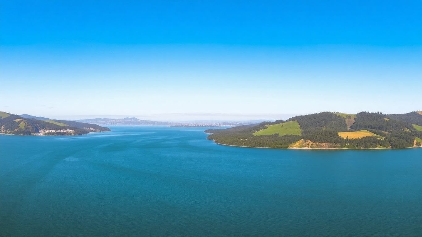
Understanding The San Francisco Watershed's Complex Estuary
The San Francisco Estuary is a seriously intricate system, and honestly, it's changed a lot over time. It's not just a simple body of water; it's a dynamic environment that's been shaped by nature and, more recently, by us. Think of it as a giant, complex puzzle where different pieces are constantly moving and influencing each other.
Historical Transformation of the Estuary
This estuary wasn't always like it is today. For centuries, it was a much wilder place. Early on, things like natural sediment flows from rivers and the ocean played a big role in how it looked. But then, people started making big changes. We've altered shorelines, built structures, and changed how water moves through the system. These human actions have fundamentally reshaped the estuary's physical form and how it functions. It's like taking a natural landscape and then building roads, houses, and canals all over it – the original character gets lost.
Impact of Upstream Sediment Supply and Sea Level Rise
What happens way upstream in the watershed has a direct effect on the estuary. The amount of sediment – sand, silt, and mud – that washes down from the mountains and rivers is super important. If less sediment comes down, the estuary can start to change. Think about it like a bathtub: if you stop adding water, the level drops. Similarly, changes in sediment supply can affect water depth and the shape of the bay floor. On top of that, sea levels are rising. This means more water is coming into the estuary from the ocean, which also changes things, especially in lower-lying areas. It's a double whammy of changing conditions.
Changes in Estuary Inflow Due to Human Activity
We've also messed with the amount of water flowing into the estuary. Building dams and reservoirs upstream to store water for cities and farms means less water makes its way down to the bay, especially during dry periods. We also export water from the system for other uses. This reduction in freshwater inflow changes the salinity balance within the estuary, affecting everything from the types of plants and animals that can live there to how water mixes. It's a delicate balance, and our actions have definitely tipped the scales.
Sediment Provenance And Transport In The San Francisco Bay Coastal System
Figuring out where sand comes from and where it goes in a place as big and busy as the San Francisco Bay system is pretty complicated. We've lost a massive amount of sand, over 150 million cubic meters, from the Bay floor in the last 50 years or so. This isn't just a natural thing; it's tied to a lot of human activities. Think about all the dams built upstream, the land filled in for development, and the sand and gravel that's been mined right out of the Bay itself. All this has messed with the natural flow of sediment. This sand loss in the Bay seems to be directly linked to why beaches along the coast are eroding so much. To get a handle on this, scientists have been using a bunch of different methods all at once to trace the journey of sand, from its origins all the way to the open coast.
Integrating Multiple Techniques for Sediment Source Identification
Trying to pinpoint the exact source of sediment in a complex area like the San Francisco Bay Coastal System is tough. No single method tells the whole story. That's why researchers have started combining several different approaches. It's like using multiple witnesses to get a clearer picture of what happened. By looking at things like grain size, chemical signatures, and even the tiny fossils in the sediment, they can cross-check their findings. This way, they build a more reliable picture of where the sand is coming from and how it's moving.
Pathways of Beach-Sized Sand Movement
So, where does all this sand actually go? Scientists have mapped out the main routes. It starts in the rivers and mountains, flows into the Bay, gets moved around by tides and currents, and eventually ends up on the beaches. But human actions have really changed these pathways. Dams trap sediment upstream, and dredging can move it around in ways that don't make sense naturally. Understanding these pathways is key to figuring out why some beaches are shrinking while others might be growing, or why the Bay floor itself is losing so much material.
Impact of Anthropogenic Changes on Sediment Supply
Human activities have had a huge effect on the amount of sediment available. The Gold Rush, with its hydraulic mining, dumped tons of dirt and gravel into the rivers, which eventually made its way to the Bay. Later, things like building levees, filling in wetlands, and mining sand from the Bay floor drastically altered the sediment balance. These changes mean less sand is naturally making its way to the coast, contributing to erosion. It's a chain reaction that started a long time ago and is still playing out today.
Here's a look at some of the major human impacts:
- Hydraulic Mining: During the Gold Rush, high-pressure water jets were used to wash away hillsides, sending massive amounts of sediment into rivers that flowed into the Bay.
- Aggregate Mining and Dredging: For decades, sand and gravel have been extracted from the Bay floor for construction, significantly reducing the sediment volume.
- Watershed Modifications: Building dams, levees, and changing land use in the surrounding areas have altered how sediment is transported from the land into the Bay.
The sheer volume of sediment that has been removed or trapped by human activities in the San Francisco Bay system is staggering. This has fundamentally changed the natural sediment budget, leading to significant consequences for both the estuary and the adjacent coastline.
Geochemical And Mineralogical Analysis Of San Francisco Bay Sediments
So, how do scientists actually figure out where all the sand in the San Francisco Bay comes from? It's not like they can just ask the sand, right? Well, they use some pretty cool science, looking at the tiny details in the sediment itself. It's all about the chemistry and the minerals – the building blocks of the sand.
Utilizing Isotopic Ratios for Provenance Studies
One of the ways scientists trace sediment is by looking at isotopes. Think of isotopes as different versions of the same element, kind of like how you might have different flavors of ice cream. Different rocks and different places have unique ratios of certain isotopes, like strontium (Sr) and neodymium (Nd). By measuring the 87Sr/86Sr and 143Nd/144Nd ratios in the bay sediments, researchers can get a good idea of whether the sand originated from the mountains, the coast, or somewhere else entirely. It's like a fingerprint for the sediment. These isotopic signatures act as powerful indicators of the sediment's origin.
Rare Earth Element Composition in Sediments
Beyond just strontium and neodymium, scientists also examine the rare earth elements (REEs) found in the sediments. These elements, despite their name, are actually quite common, but their specific mix can vary depending on the source rock. Analyzing the patterns of REEs in the bay's sand helps pinpoint its geological history. It’s another layer of detail that adds to the overall picture of where the sediment has been.
Heavy Mineral Analysis for Sediment Tracing
Another key technique involves looking at the heavy minerals. These are minerals that are denser than common quartz and feldspar. Different geological areas have distinct assemblages of these heavy minerals. By identifying which heavy minerals are present in the bay sediments and in what amounts, scientists can match them to known mineral deposits or rock types found in the watershed or along the coast. This method is particularly useful for understanding the movement of beach-sized sand within the San Francisco Bay Coastal System.
Here's a simplified look at how these analyses contribute:
- Isotopic Ratios: Provide broad regional fingerprints.
- Rare Earth Elements: Offer more specific geochemical signatures.
- Heavy Minerals: Act as distinct mineralogical markers.
By combining these different analytical approaches, scientists can build a much more reliable story about the sediment's journey. It’s a bit like putting together a puzzle, where each piece of chemical or mineralogical data helps reveal the complete picture of sediment transport and sources.
Modeling Sediment Dynamics In The San Francisco Estuary
Figuring out how sediment moves around in the San Francisco Estuary is pretty complicated. Scientists use fancy computer models to get a handle on it. These models help us see how things like tides, waves, and even the wind push and pull sediment around. It's not just about where it goes, but also how much is moving and when.
Hydrodynamic and Wave Modeling of Sediment Transport
To really understand sediment movement, researchers combine different types of models. They use hydrodynamic models, which simulate how water flows, and wave models, which show how waves behave. When you put these together, you get a much clearer picture of how water currents and waves work together to move sand and silt. This combined approach is key to predicting where sediment will end up. It helps us understand how things like big storms or strong tides can really stir things up.
Quantifying Sediment Fluxes in San Pablo Bay
San Pablo Bay is a big part of the estuary, and it's seen a lot of changes. Models have been used to look specifically at this area. They track how much sediment is moving in and out of different parts of the bay, especially around the shoals. This helps identify areas where sediment might be building up or getting washed away. For example, studies have shown that:
- Sediment movement is highest during spring tides.
- Even after a wave event, sediment can stay stirred up for about a week.
- During low tide, even small waves can increase sediment movement.
Predicting Sediment Concentrations and Tidal Current Interactions
These models aren't just for looking back; they're also used to predict what might happen in the future. By understanding how tidal currents interact with sediment, scientists can forecast sediment concentrations in the water. This is important for managing the estuary, especially when you consider how human activities have changed the amount of sediment coming into the bay. The models help us see how these changes might affect the estuary's shape and health over time.
The complex interplay of natural forces and human alterations means that sediment dynamics are constantly shifting. Modeling provides a way to simulate these changes and anticipate their consequences for the estuary's ecosystem and infrastructure.
Anthropogenic Influences On The San Francisco Watershed
Humans have really changed the San Francisco Bay watershed over time, and it's not just a little bit. Think back to the Gold Rush – all that hydraulic mining dumped a ton of sediment into the rivers, which eventually made its way to the Bay. It was a massive amount of material, and it completely altered the landscape.
Hydraulic Mining Sediment from the Gold Rush
During the 19th century, the California Gold Rush brought about a dramatic shift in the Bay's sediment load. Hydraulic mining, a technique that used high-pressure water jets to blast away hillsides, released enormous quantities of sand, gravel, and silt. This material flowed down rivers like the Sacramento and San Joaquin, eventually reaching the San Francisco Bay estuary. This influx of sediment fundamentally reshaped the Bay's geography, filling in channels and altering habitats. It's wild to think about how much material was moved and how it impacted the entire system.
Bay Floor Aggregate Mining and Dredging
More recently, activities like aggregate mining and dredging have also played a significant role. Companies have extracted sand and gravel directly from the Bay floor for construction and other purposes. While this provides resources, it also removes sediment that would naturally be part of the Bay's dynamic system. Dredging, often done to keep shipping channels clear, further disturbs and moves sediment around. These actions, over decades, have led to a noticeable reduction in the amount of sediment present on the Bay floor.
Watershed Modifications and Their Sediment Impacts
Beyond direct mining, broader changes to the watershed have had ripple effects. Building dams and reservoirs upstream, for instance, traps sediment that would otherwise flow downstream. Altering river channels and developing land around the Bay also changes how water and sediment move. These modifications, combined with the historical mining and ongoing extraction, create a complex web of human impacts that continue to influence the Bay's sediment budget and overall health.
The cumulative effect of these human activities has been a significant alteration of the natural sediment flow into and within the San Francisco Bay system. This has led to a deficit in sediment, impacting not only the Bay itself but also the adjacent coastal areas.
Erosion And Sediment Loss In The San Francisco Bay Coastal System
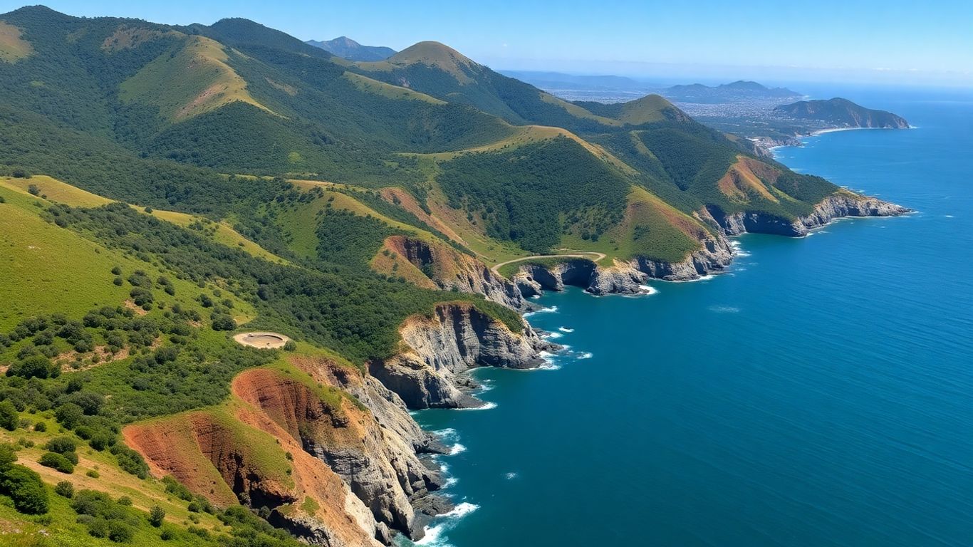
It's pretty wild when you start looking at how much sand has just vanished from the San Francisco Bay area. We're talking about over 150 million cubic meters of sand-sized sediment gone from the central part of the system in just the last 50 years. That's a massive amount, and it's not just happening in the Bay itself. This huge loss seems to be connected to other big changes happening along the coast.
Massive Sand-Sized Sediment Loss from the Bay Floor
This disappearance of sediment from the Bay floor is a pretty significant event. It's happened over the last half-century and is likely tied to a bunch of human activities. Think about things like dams built upstream that trap sediment, land development that fills in parts of the Bay, and even digging up sand from the Bay floor for construction. All these things mess with the natural flow and amount of sediment.
Link Between Bay Sediment Reduction and Coastal Erosion
What's really interesting, and a bit concerning, is that this reduction in sediment within the Bay appears to be linked to what's happening on the open coast. When there's less sand available in the Bay, it seems to mean less sand is making its way out to the ocean. This lack of replenishment can then lead to problems for the beaches and other coastal areas.
Widespread Erosion of Adjacent Beaches and Wetlands
And that's exactly what we're seeing. There's been a lot of erosion happening on the beaches right next to the Bay, and even on the wetlands. It's like a domino effect. The sand that used to keep these areas stable is just not there anymore. This can lead to:
- Beaches shrinking, making them less usable and affecting coastal properties.
- Wetlands being washed away, which are important habitats for wildlife and natural buffers against storms.
- Increased vulnerability of the coastline to wave action and rising sea levels.
The connection between the sediment disappearing from the Bay and the erosion we see on the coast is becoming clearer. It's not just a coincidence; it's a system where changes in one part directly affect another. Understanding these pathways is key to figuring out how to manage our coastlines better.
Here's a look at some of the sediment loss figures:
The San Francisco Bay's coast is losing soil, a problem called erosion. This soil loss, along with sediment, can harm the bay's environment. We need to understand and address these issues to protect this vital area. Want to learn more about how we can help protect coastal systems? Visit our website today!
Wrapping Up Our Watershed Journey
So, we've taken a pretty good look at the San Francisco watershed, right? It's a complex place, with a lot going on beneath the surface, from how sand moves around to how human activities have really changed things over time. It’s clear that understanding these natural processes, and how we impact them, is super important for keeping this whole system healthy. It’s not just about pretty views; it’s about a working environment that supports a lot of life and provides resources. Thinking about the past and how things have shifted gives us a better idea of what we need to do moving forward. It’s a big job, for sure, but knowing more helps us make better choices for the future of this vital area.
Frequently Asked Questions
What is the San Francisco Watershed?
The San Francisco Watershed is a large area of land where all the water drains into San Francisco Bay and the Pacific Ocean. It's like a giant funnel that collects rain and runoff, eventually leading it to the bay and then the sea. This watershed includes rivers, streams, and the land around them, playing a big role in the health of the bay's water and the sand on its beaches.
Why is sediment important in the San Francisco Bay?
Sediment, which is basically tiny bits of sand, silt, and mud, is super important for San Francisco Bay. It shapes the bay floor, helps build up beaches, and supports important habitats like wetlands. Changes in how much sediment flows into the bay, or where it moves, can have big effects on the bay's environment and the coastlines around it.
How has human activity changed the San Francisco Bay's sediment?
Humans have really changed the amount and movement of sediment in the bay. Things like building dams, mining for gold and other materials, and developing land have either blocked sediment from coming in or removed it directly. This has led to less sediment overall, which can cause problems like erosion.
What is 'sediment provenance'?
Sediment provenance is like being a detective for sand and mud. It means figuring out where the sediment originally came from – like which rivers or rocks it broke off from. Scientists use different clues, like the type of minerals or chemical makeup, to trace the sediment's journey to the bay.
What is happening to the sand on the bay floor?
A lot of sand has actually gone missing from the bottom of San Francisco Bay over the last several decades. This loss is thought to be linked to human activities that have reduced the amount of new sand coming into the bay. This missing sand might be contributing to erosion problems on nearby beaches.
How does sediment loss in the bay affect coastal erosion?
When there's less sand in the bay, it can mean less sand is available to replenish the beaches and coastlines outside the bay. Think of the bay as a sand reservoir; if that reservoir is emptying, the beaches that rely on that sand can start to erode away more quickly.

